

Project

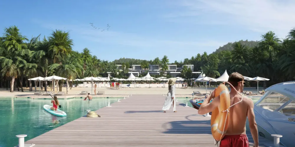
Exterior · Seychelles
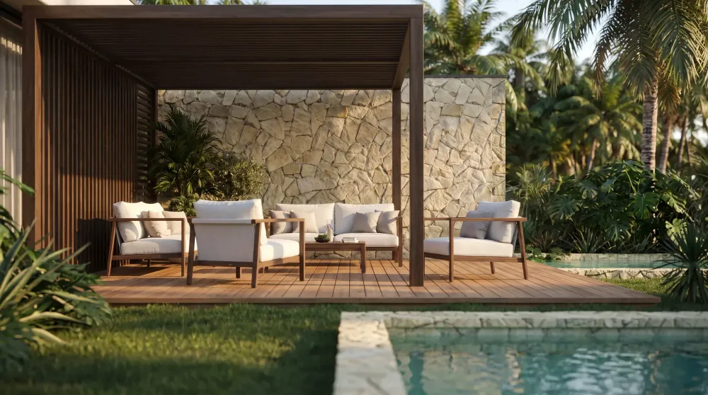
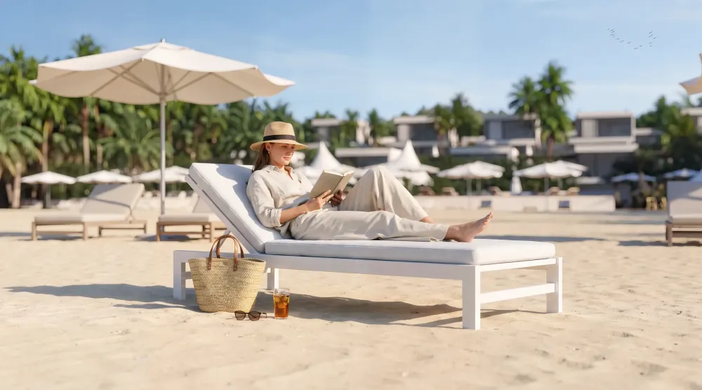
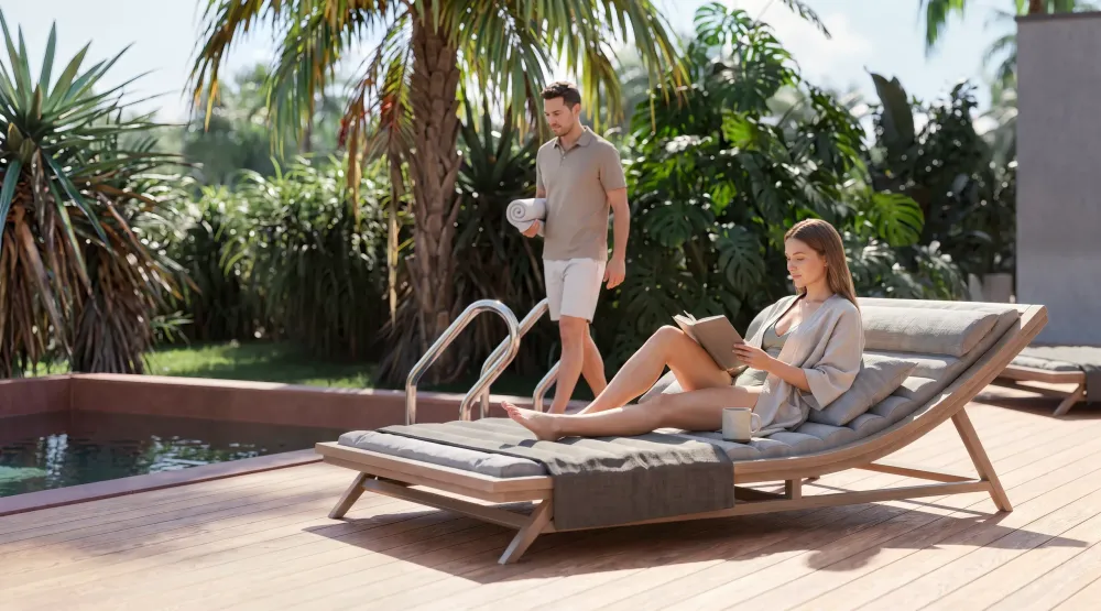
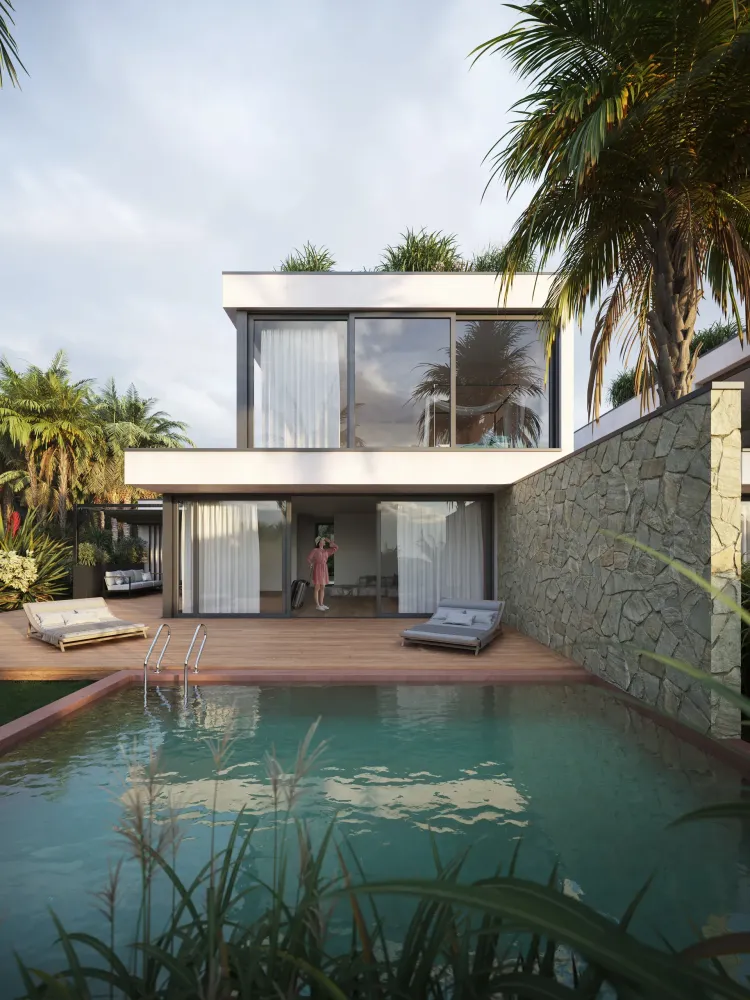
Seychelles island resort: 8 CGI views before the build
Masterplan and hero views of a private-island retreat, built from satellite data and real vegetation reference in 20 days.
Overview
The Brief
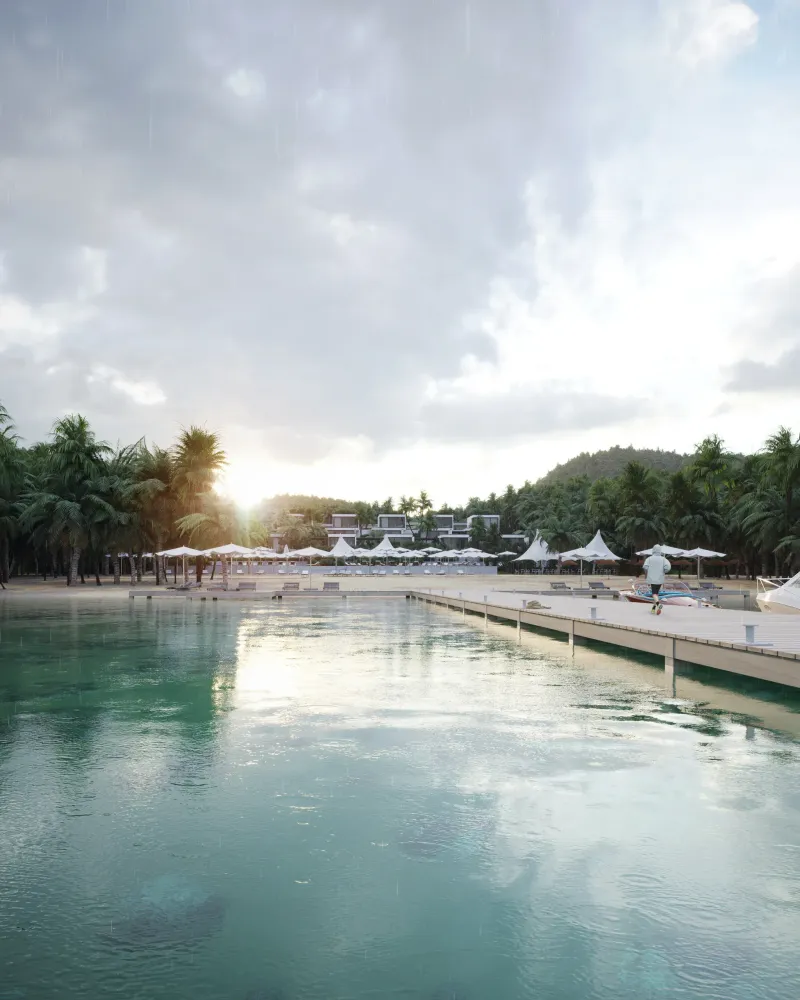
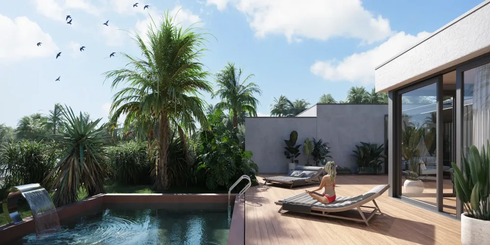
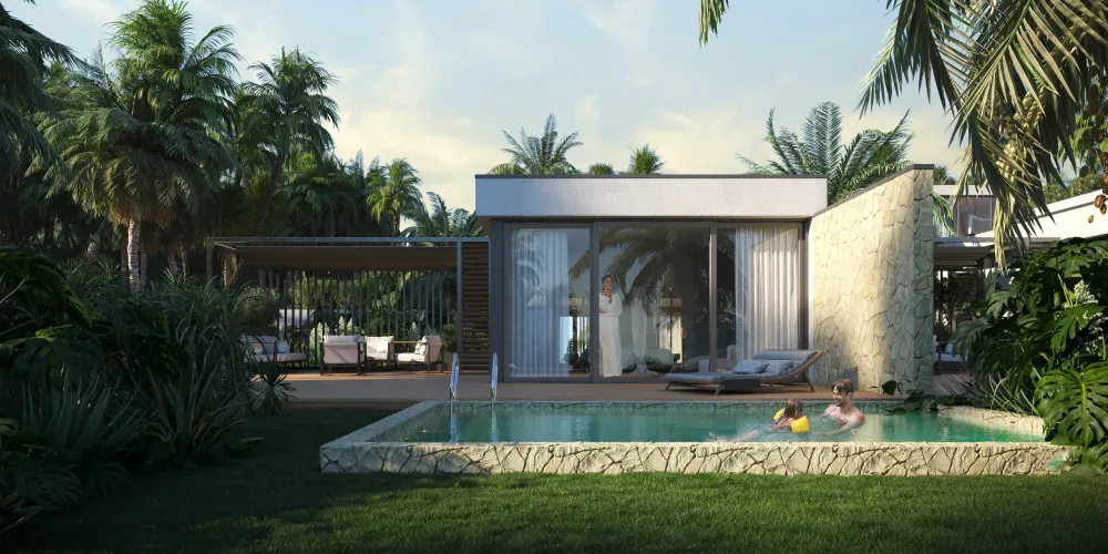
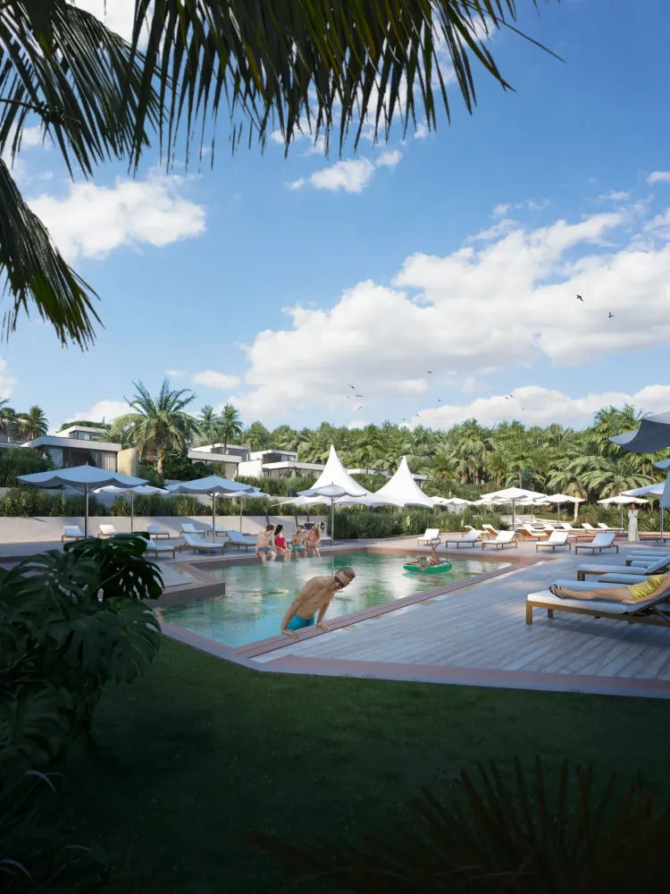
A remote site comes with almost no survey material, so the first job is reconstructing the island: satellite imagery, drone frames where they exist, sun and tide data, photographs of the vegetation that actually grows there. A palm pulled from a generic library reads false at a glance. Terrain and planting were built first in 3ds Max and Corona, then the villas, which is the easy part. That is architectural visualization at masterplan scale.
01 / 08
The craft
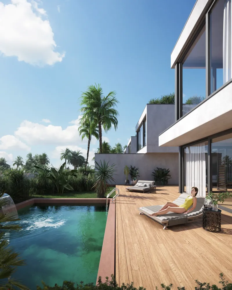
On a remote site the landscape is the product
Most of the 20 days went into organic work: terrain, planting density, the way light scatters through palm leaves and comes off salt-weathered timber. Someone buying an island villa is buying the setting, and a resort render with correct architecture and wrong vegetation sells nothing. The three revision rounds went the same way, on planting and time of day rather than on the buildings.
8
Renders Delivered
20
Days Turnaround
3
Revision Rounds


















Your project next
Ready to visualize yours?
Talk through your project on WhatsApp, or see exactly what it costs below.
Drag to compare. Same scene, before and after our upgrade.


